
Navigating a sailboat involves determining where you are, where you need to go, and what course to steer to get there safely. On familiar lakes with visible landmarks, this is often intuitive. On unfamiliar coastal waters — or at night — systematic navigation methods become essential. This guide covers the core tools and concepts used in recreational sailing navigation.
Nautical Charts
A nautical chart is a specialised map designed for marine navigation. Unlike road maps, nautical charts show depth soundings, underwater hazards, buoy positions, harbour facilities, tidal information, and magnetic variation — the difference between true north (the geographic pole) and magnetic north (where a compass points).
In Poland, nautical charts for inland waterways are published by the Institute of Meteorology and Water Management (IMGW) and regional waterway authorities. Coastal charts covering Polish Baltic waters are produced by the Biuro Hydrograficzne Marynarki Wojennej (Naval Hydrographic Office), which is also the official chart authority for the Polish naval and coastal administration.
Reading Depth on a Chart
Depth figures on nautical charts are shown in metres and are measured from the chart datum — a reference level, typically the lowest astronomical tide. In the Baltic, where tidal variation is small, the chart datum is close to the mean sea level. On lake charts, depths are typically measured from the regular operating water level of the lake.
Contour lines (isobaths) connect points of equal depth. A rapid transition from many contour lines to open water indicates a steeply shoaling bottom — a potential grounding hazard if you stray off the charted track.
Common Chart Symbols to Know
- Anchor symbol — recommended anchorage area
- Rock with depth figure — a submerged hazard at a specific depth
- Wreck symbol — known wreck, may be marked by a buoy
- Magenta circle — light structure; the light characteristics are listed alongside
- Port and starboard lateral buoys — red (port) and green (starboard) channel markers
- Traffic Separation Scheme (TSS) — shipping lanes, avoid crossing at oblique angles
The Compass
A steering compass indicates the direction the boat is heading relative to magnetic north. Most recreational keelboats carry a mounted binnacle compass at the helm; smaller boats may use a handheld compass for spot checks.
Bearings are expressed in degrees from 0° to 360°, always measured clockwise from north:
- 000° / 360° — north
- 090° — east
- 180° — south
- 270° — west
Magnetic Variation and Deviation
Magnetic variation is the angle between true north and magnetic north at a given location. It changes slowly over time and differs by region. For the Baltic coastal areas of Poland, magnetic variation in 2026 is approximately 4–5° east, meaning a compass points slightly east of true north. Charts note the local variation; when plotting courses, navigators must account for it.
Compass deviation is the additional error caused by magnetic materials and electronics on the boat itself — the engine, compass position relative to the chartplotter, speakers, and so on. A compass should be periodically checked against known bearings and a deviation table made if errors are found.
Dead Reckoning
Dead reckoning (DR) is the process of estimating current position based on a previously known position, direction of travel (heading), speed, and elapsed time. It does not rely on external references. While GPS has made precise positioning trivially easy, dead reckoning remains a useful backup and is part of the formal training for Polish sailing licenses.
The calculation is straightforward:
- Known starting position (latitude and longitude, or a charted landmark)
- Heading steered (corrected for variation and deviation if calculating true course)
- Speed through the water (from a knot meter or estimated from sail trim and conditions)
- Time elapsed since the last known position
Distance = Speed × Time. A boat moving at 4 knots for 30 minutes travels 2 nautical miles. Plotted on the chart along the course steered, this gives the DR position. The actual position may differ due to current or leeway (the sideways drift caused by wind).
Electronic Navigation
GPS chartplotters have become standard equipment on most keelboats over 7 metres. A chartplotter displays the boat's position on a digital chart in real time, shows course over ground, speed over ground, and can calculate and display waypoint routes.
It is important to distinguish between:
- Speed through water — measured by the boat's log/knot meter, affected by water current
- Speed over ground (SOG) — measured by GPS, actual speed relative to the seabed
- Course through water — the direction the bow points, steered on the compass
- Course over ground (COG) — actual track across the chart, accounting for current and leeway
In areas with significant tidal streams or river currents — such as the Szczecin Lagoon or the approaches to Gdańsk — the difference between course steered and course made good can be substantial.
Waypoint Navigation and Route Planning
A waypoint is a defined geographic position entered into a GPS or chartplotter. Routes are composed of waypoints connected in sequence. When planning a coastal passage in Polish waters, waypoints are typically placed:
- At departure from harbour
- At cardinal marks or significant buoys along the route
- At any course alteration needed to avoid hazards
- At the approach to the destination harbour
Before Departure: Navigation Checklist
- Review the chart for the planned route and note hazards and shallow areas
- Check the latest IMGW weather forecast for the region
- File a float plan with a responsible person ashore
- Confirm that charts (paper or electronic) are up to date
- Test VHF radio — required for coastal passages under Polish maritime regulations
- Note harbour approach bearings and chart any restricted areas on route
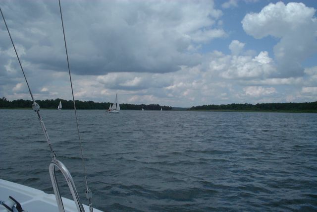
Visual Navigation on Polish Lakes
On the Masurian lakes, navigation is largely visual and based on the SIGNI buoyage system — a European standard for inland waterways. Lateral marks (red and green buoys) indicate the edges of the navigable channel. Green marks are passed on the starboard side when travelling in the upstream direction (defined by convention for each lake or canal system). Red marks are passed to port.
Lake Śniardwy, covering roughly 113 square kilometres, is large enough that distant shores are not always visible, and compass work is useful even on an inland trip. The connecting canals and locks of the Masurian Canal and Great Masurian Lakes system require attention to channel width, bridge clearances, and speed restrictions that affect navigation.
Rules of the Road at Sea
The International Regulations for Preventing Collisions at Sea (COLREGS) define right-of-way and conduct rules for all vessels. Key rules for recreational sailors:
- A vessel under sail generally has right of way over a vessel under engine power — with several exceptions
- When two sailing vessels meet, the vessel on starboard tack (wind coming from the starboard side) has right of way
- The overtaking vessel must keep clear, regardless of sail or power status
- All vessels must avoid commercial shipping in traffic separation schemes
- In restricted visibility, reduce speed and post a watch
Further Resources
The Polish Yachting Association training programme for the Sternik Motorowodny and Sternik Jachtowy qualifications covers navigation in detail. The official COLREGS text is published by the International Maritime Organization (imo.org). Hydrographic charts for Polish coastal waters can be ordered through the Naval Hydrographic Office in Gdynia.